← 2026-10-17 edition · Sourced reporting
Published Oct 17, 2026, 4:20 PM Central · This version Oct 17, 2026, 4:20 PM Central · As of 2026-10-17
Cape Hatteras closes all beach-driving ramps for the coastal storm
NPS’s October 17 update says all Cape Hatteras off-road vehicle ramps are closed for the coastal storm. Check the exact entry before visiting: some roads have separate listings, and the older mileage table does not describe current storm access. No reopening time is given. [1] [2] [3] [4]
Check Cape Hatteras’s official conditions page for the newest storm banner and the specific ramp or road entry before setting out. Its dated listings do not guarantee that physical conditions remain unchanged. →Cape Hatteras National Seashore, North Carolina; NPS beach-access update dated October 17, 2026 at 9:15 AM as displayed. Distinguish off-road vehicle ramps from separately listed roads and the October 15 resource-mileage table. No field inspection or guarantee of present access.
- 1 source record
- National Park Service, Cape Hatteras National Seashore
Still open: The original closure news-release URL could not be obtained; this report relies only on the captured NPS conditions page, not syndicated claims about other parks, evacuations, wind speeds or facility closures. All open questions ↓
Reporting question · As of 2026-10-17
The question: Can visitors use Cape Hatteras beach-driving ramps during the coastal storm?
Cape Hatteras National Seashore, North Carolina; NPS beach-access update dated October 17, 2026 at 9:15 AM as displayed. Distinguish off-road vehicle ramps from separately listed roads and the October 15 resource-mileage table. No field inspection or guarantee of present access.
Exact entry matters
Check weather labels and struck-through older access wording; seasonal hours are not clearance.
[2]Roads: separate entries
The page lists open and closed road entries separately. They are not proof a closed ramp can be used.
[3]Cape Hatteras NPS page captured October 17, 2026. Cards distinguish source sections and dates; they are not a travel sequence, measured duration, map, reopening forecast or live safety clearance.
Read the process as a table
| Component | Meaning | Evidence |
|---|---|---|
| Ramps: closed | October 17, 9:15 AM update: all ORV ramps closed for the coastal storm. | [1] |
| Exact entry matters | Check weather labels and struck-through older access wording; seasonal hours are not clearance. | [2] |
| Roads: separate entries | The page lists open and closed road entries separately. They are not proof a closed ramp can be used. | [3] |
| Mileage: October 15 | Older nesting-season mileage totals do not measure October 17 storm access. | [4] |
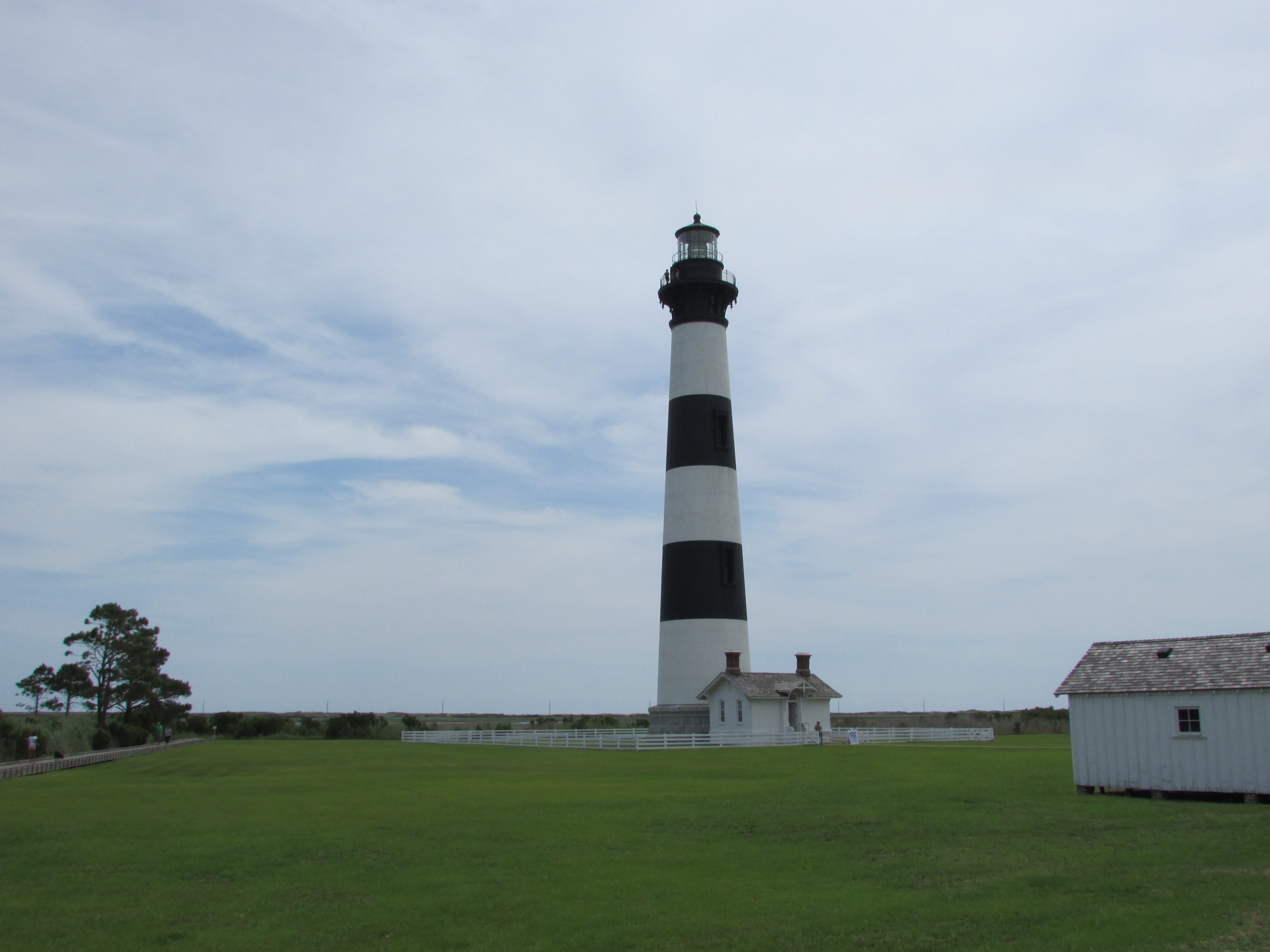
Archive photograph · 2019-06-28 · Bodie Island, Cape Hatteras National Seashore, North Carolina, United States

Understand the story.
Check the storm update first
NPS’s October 17 update, displayed at 9:15 AM, closes all off-road vehicle ramps for the coastal storm. The ramp listings cover Bodie, Hatteras and Ocracoke islands. A seasonal opening date on the same page does not override a weather closure. [1] [2]
Earlier hours do not reopen a route
The page crosses out earlier access wording at several closed entries, including pedestrian wording at Ramp 2 north and Ramp 59 north. Read the current closure label for the exact entry before relying on a general rule about pedestrian access. [2]
Keep the roads and mileage separate
Inside Road, Prong Road west and pedestrian access on South Beach Road have separate open entries; Pole Road is marked closed for weather. Those entries do not reopen the beach-driving ramps or establish a safe detour. The mileage table farther down is dated October 15 and discusses nesting-season updates; its older totals cannot tell you how much beach is accessible in this storm. [3] [4]
Recheck before setting out
Use the official conditions page for the latest banner and the exact ramp or road entry. This snapshot supplies no reopening time and cannot confirm present physical conditions. The archive lighthouse photograph is context only. [1] [2] [3]
How we know4 scoped claims · 1 source recordView evidence
Each claim keeps its full assertion, date, source passage and limits. Source counts describe records, not independent corroboration.
1.Storm closes the rampsAttributed
NPS’s October 17 9:15 AM beach-access update says all off-road vehicle ramps are closed due to the coastal storm.
- Scope
- Cape Hatteras National Seashore, North Carolina; NPS beach-access update dated October 17, 2026 at 9:15 AM as displayed. Distinguish off-road vehicle ramps from separately listed roads and the October 15 resource-mileage table. No field inspection or guarantee of present access.
- Evidence passage
- Beach Access Status → Updated October 17 at 9:15 AM → all-ramps closure banner.
- As of
- 2026-10-17
- Limit
- No field inspection, exact closure onset time or reopening timetable is supplied.
Retrieved 2026-10-17T20:02:15.457Z · National Park Service, Cape Hatteras National Seashore
A dated page snapshot, not a live road, pedestrian-route or weather clearance. Reopening time is unstated.
2.Closure entries span three islandsAttributed
The same update lists weather closures for ramps on Bodie, Hatteras and Ocracoke islands; at Ramp 2 north and Ramp 59 north, earlier pedestrian-access wording is struck through.
- Scope
- Cape Hatteras National Seashore, North Carolina; NPS beach-access update dated October 17, 2026 at 9:15 AM as displayed. Distinguish off-road vehicle ramps from separately listed roads and the October 15 resource-mileage table. No field inspection or guarantee of present access.
- Evidence passage
- Beach Access Status → Bodie Island (Ramp 2), Hatteras Island (Ramp 23), Ocracoke Island (Ramp 59); visible closures and struck-through earlier text.
- As of
- 2026-10-17
- Limit
- Do not treat a seasonal opening date, struck-through hours or general pedestrian rule as permission through a specifically closed entry.
Retrieved 2026-10-17T20:02:15.457Z · National Park Service, Cape Hatteras National Seashore
A dated page snapshot, not a live road, pedestrian-route or weather clearance. Reopening time is unstated.
3.Road entries are a separate checkAttributed
The page separately lists Inside Road as open, South Beach Road’s two directions as open to pedestrians and Prong Road west as open; Pole Road is marked closed due to weather.
- Scope
- Cape Hatteras National Seashore, North Carolina; NPS beach-access update dated October 17, 2026 at 9:15 AM as displayed. Distinguish off-road vehicle ramps from separately listed roads and the October 15 resource-mileage table. No field inspection or guarantee of present access.
- Evidence passage
- Beach Access Status → Inside Road, South Beach Road, Pole Road and Prong Road entries.
- As of
- 2026-10-17
- Limit
- These are the page’s entries at capture, not an assurance that a road remains open, a suggested detour or permission to enter a closed beach ramp.
Retrieved 2026-10-17T20:02:15.457Z · National Park Service, Cape Hatteras National Seashore
A dated page snapshot, not a live road, pedestrian-route or weather clearance. Reopening time is unstated.
4.Older mileage is not current storm accessAttributed
The mileage summary is dated October 15, 2026 and describes updates during shorebird and sea-turtle nesting seasons, while the storm-closure banner is dated October 17.
- Scope
- Cape Hatteras National Seashore, North Carolina; NPS beach-access update dated October 17, 2026 at 9:15 AM as displayed. Distinguish off-road vehicle ramps from separately listed roads and the October 15 resource-mileage table. No field inspection or guarantee of present access.
- Evidence passage
- Mileage Summary → Last Updated October 15, 2026 and nesting-season description; compare October 17 Beach Access Status banner.
- As of
- 2026-10-17
- Limit
- The older resource-mileage totals cannot establish how much beach is accessible during the newer coastal-storm closure.
Retrieved 2026-10-17T20:02:15.457Z · National Park Service, Cape Hatteras National Seashore
A dated page snapshot, not a live road, pedestrian-route or weather clearance. Reopening time is unstated.
What remains open.
- The original closure news-release URL could not be obtained; this report relies only on the captured NPS conditions page, not syndicated claims about other parks, evacuations, wind speeds or facility closures.
- No field visit, current weather measurement, road-agency order or individual route inspection was performed.
- The precise time closures began, the source page’s AM timezone and the reopening timetable are not stated in the captured access section.
- Inside Road and other open entries may change after capture; no detour or present access assurance is offered.
- Substantive reporting retained from October 17 revision 3. Rechecked original bytes do not renew its news.
A revised NPS storm banner, route-specific entry, operative closure or reopening order, or corrected date would reopen the claim and require a separately identified revision.
THIS STORY IN TIME
Keep the dates with the story.
- Reported development
- Evidence as of
- First retained publication
- This version published
Publication times are Central. A development date and an evidence date can differ. Missing dates remain unrecorded.