← 2026-10-16 edition · Sourced reporting
Published Oct 16, 2026, 12:49 PM Central · This version Oct 16, 2026, 12:49 PM Central · As of 2026-10-16
NASA maps the Panhandle’s returning lights after Hurricane Isaias
NASA’s new October 16 analysis shows lights returning around Pensacola and toward Destin after Isaias. By October 14, regional lighting resembled pre-storm conditions. That dated observation cannot establish whether an individual home has power or is safe to enter. [1] [2] [4] [5]
Read National Weather Service guidance on returning home, downed wires and generator safety. Follow local officials for an all-clear; the satellite record is dated and cannot verify your home’s power or safety. →Pensacola and the U.S. Route 98 corridor toward Destin, Florida; NASA analysis published October 16, 2026, describing August and October 11–14 observations. Nighttime light is not a count of powered customers or a live restoration, reentry or building-safety notice.
- 2 source records
- NASA Earth Observatory
- National Weather Service
Still open: No utility customer, circuit or individual-building restoration records were obtained. All open questions ↓
Reporting question · As of 2026-10-16
The question: What does NASA’s new nighttime-light analysis show about recovery after Isaias, and what should a household still check?
Pensacola and the U.S. Route 98 corridor toward Destin, Florida; NASA analysis published October 16, 2026, describing August and October 11–14 observations. Nighttime light is not a count of powered customers or a live restoration, reentry or building-safety notice.
August baseline
A composite represents typical pre-storm lighting. It is not one night’s customer count.
[1]NASA analysis published October 16; August composite and October 11–14 regional observations. Cards preserve record dates, not a continuous restoration timeline. No numerical scale, customer denominator, outage percentage or live home-status claim.
Read the process as a table
| Component | Meaning | Evidence |
|---|---|---|
| August baseline | A composite represents typical pre-storm lighting. It is not one night’s customer count. | [1] |
| October 11 | Sharply reduced lights around Pensacola and toward Destin; hatched areas lack cloud-free observations. | [1] [3] |
| October 12 | Lights had returned to some affected areas, NASA reports. | [2] |
| October 14 | Lighting patterns looked similar to pre-storm conditions, NASA reports. Individual power status remains unverified. | [2] [4] |
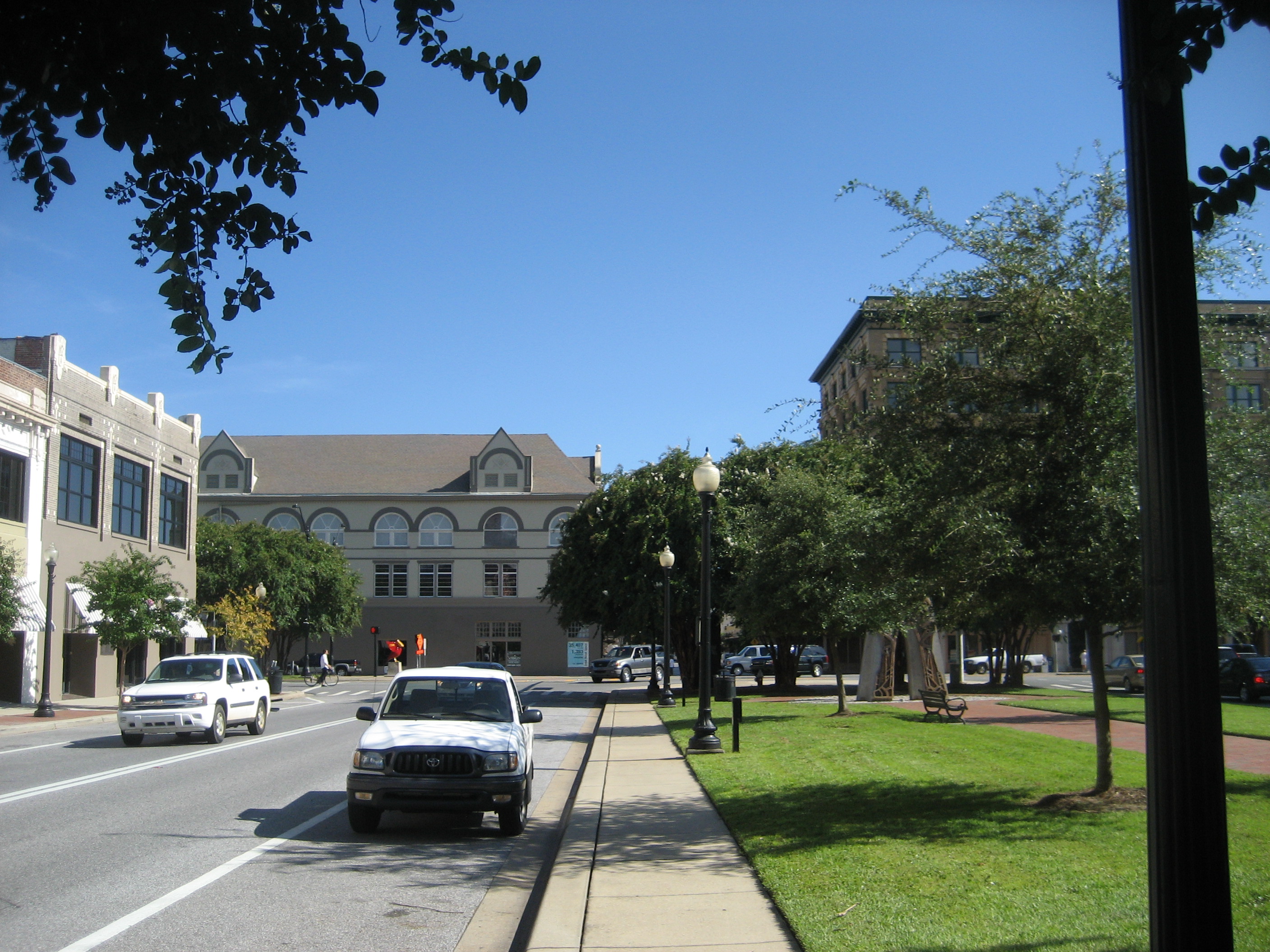
Archive photograph · 2008-08 · Downtown Pensacola, Florida

Understand the story.
A new view of recovery
NASA’s newly published images compare an August baseline with October 11 and 12. The agency reports sharply reduced lights along parts of the Florida Panhandle, followed by light returning in some areas. It says patterns resembled pre-storm conditions by October 14. [1] [2]
Keep the dates and gaps
The August view combines observations across a month. The later views describe particular dates. Black Marble HD processes nighttime observations from NOAA-20; hatched areas show where clouds blocked the view. The comparison offers a regional picture, with no percentage of customers restored. [1] [3]
Several reasons a place can stay lit
NASA scientist Ranjay Shrestha identifies backup power, infrastructure differences and continuing grid service as possible explanations for persistent lights. The imagery cannot choose among them. A bright area alone does not establish the service available to every nearby home. [4]
Use a safety check before returning
For a return home, follow local officials. National Weather Service guidance covers downed wires and portable-generator hazards, including keeping generators out of homes and garages. Use that guidance alongside current local instructions; this satellite account is not an all-clear. [5]
How we know5 scoped claims · 2 source recordsView evidence
Each claim keeps its full assertion, date, source passage and limits. Source counts describe records, not independent corroboration.
1.Dated evidence of disruptionAttributed
NASA’s October 16 analysis says Black Marble HD images show sharply reduced nighttime lighting around Pensacola and toward Destin on October 11 compared with an August composite.
- Scope
- Pensacola and the U.S. Route 98 corridor toward Destin, Florida; NASA analysis published October 16, 2026, describing August and October 11–14 observations. Nighttime light is not a count of powered customers or a live restoration, reentry or building-safety notice.
- Evidence passage
- First image pair → Image Details; paragraphs beginning These areas and The data depicted.
- As of
- 2026-10-16
- Limit
- The baseline is a month-long composite; the comparison is not an outage percentage or a customer count.
Retrieved 2026-10-16T17:02:53.861Z · NASA Earth Observatory
NASA’s published interpretation of satellite observations; no field reporting or utility-account-level restoration verification by this newsroom.
2.Returning lightsAttributed
NASA reports some lights returning by October 12 and lighting patterns resembling pre-storm conditions by October 14.
- Scope
- Pensacola and the U.S. Route 98 corridor toward Destin, Florida; NASA analysis published October 16, 2026, describing August and October 11–14 observations. Nighttime light is not a count of powered customers or a live restoration, reentry or building-safety notice.
- Evidence passage
- Second image pair → Image Details; paragraph beginning Black Marble HD images also reveal.
- As of
- 2026-10-16
- Limit
- Dated regional observations, not a verified statement that every household or circuit had service then or has service today.
Retrieved 2026-10-16T17:02:53.861Z · NASA Earth Observatory
NASA’s published interpretation of satellite observations; no field reporting or utility-account-level restoration verification by this newsroom.
3.What the satellite measuresAttributed
NASA says Black Marble HD uses NOAA-20 VIIRS nighttime observations, adjusts for atmospheric and Moon-related effects and filters stray light. Hatched areas mark cloud-obscured observations.
- Scope
- Pensacola and the U.S. Route 98 corridor toward Destin, Florida; NASA analysis published October 16, 2026, describing August and October 11–14 observations. Nighttime light is not a count of powered customers or a live restoration, reentry or building-safety notice.
- Evidence passage
- Paragraph beginning The data depicted in the images.
- As of
- 2026-10-16
- Limit
- NASA’s processed product and methodology account; we did not independently reconstruct the radiance product or estimate restoration rates.
Retrieved 2026-10-16T17:02:53.861Z · NASA Earth Observatory
NASA’s published interpretation of satellite observations; no field reporting or utility-account-level restoration verification by this newsroom.
4.Persistent lights have several explanationsAttributed
NASA scientist Ranjay Shrestha identifies backup power, electrical infrastructure differences and continued electricity service as possible explanations for places that remained lit; the images cannot distinguish those causes.
- Scope
- Pensacola and the U.S. Route 98 corridor toward Destin, Florida; NASA analysis published October 16, 2026, describing August and October 11–14 observations. Nighttime light is not a count of powered customers or a live restoration, reentry or building-safety notice.
- Evidence passage
- Paragraph beginning At these finer scales and Shrestha’s following explanation.
- As of
- 2026-10-16
- Limit
- No generator, circuit condition or particular building’s electricity supply is independently verified here.
Retrieved 2026-10-16T17:02:53.861Z · NASA Earth Observatory
NASA’s published interpretation of satellite observations; no field reporting or utility-account-level restoration verification by this newsroom.
5.Practical safety checkSupported
The National Weather Service advises returning after evacuation only when officials say it is safe, watching for downed wires and keeping portable generators outside homes and garages.
- Scope
- Pensacola and the U.S. Route 98 corridor toward Destin, Florida; NASA analysis published October 16, 2026, describing August and October 11–14 observations. Nighttime light is not a count of powered customers or a live restoration, reentry or building-safety notice.
- Evidence passage
- After a Hurricane → first, second, road-hazard and generator paragraphs.
- As of
- 2026-10-16
- Limit
- General U.S. post-storm safety guidance; not a local all-clear, personal assessment or proof of a current outage.
Retrieved 2026-10-16T17:04:37.686Z · National Weather Service
Undated general safety resource, checked October 16; not a local current hazard bulletin or reentry order.
What remains open.
- No utility customer, circuit or individual-building restoration records were obtained.
- NASA reports an October 14 observation but the article provides download pairs for August, October 11 and October 12; the October 14 statement remains explicitly attributed.
- We inspected the linked images and captions, without independently reconstructing Black Marble HD processing or estimating a recovery percentage.
A corrected NASA analysis, changed observation date, matched utility records or changed local safety instructions would require a separately identified revision and renewed source review.
THIS STORY IN TIME
Keep the dates with the story.
- Reported development
- Evidence as of
- First retained publication
- This version published
Publication times are Central. A development date and an evidence date can differ. Missing dates remain unrecorded.