← 2026-10-25 edition · Sourced reporting
Published Oct 25, 2026, 10:19 AM Central · This version Oct 25, 2026, 10:19 AM Central · As of 2026-10-25
Medano Creek reaches the dunes again; the backcountry road still needs caution
NPS reports Medano Creek reaching the main dunes parking area October 23. Visitors can check that welcome return while respecting separate warnings about deep, swift backcountry crossings. [1] [2] [3]
Check NPS’s current Medano Creek conditions and linked road warnings before travel →Great Sand Dunes National Park and Preserve, Colorado: NPS conditions updated October 23 following October 22 rain. Recheck conditions before travel; seasonal spring text remains on the page.
- 2 source records
- National Park Service
Still open: October 25 flow and crossing depths are not verified. All open questions ↓
Reporting question · As of 2026-10-25
The question: Where has water returned at Great Sand Dunes, and what does that mean for a safe visit?
Great Sand Dunes National Park and Preserve, Colorado: NPS conditions updated October 23 following October 22 rain. Recheck conditions before travel; seasonal spring text remains on the page.
Different locations, not comparable water depths. October 23 NPS updates; conditions can change before a visit.
Read the process as a table
| Component | Meaning | Evidence |
|---|---|---|
| Main dunes parking area | Water reported nearby October 23; Sunday depth unknown. | [1] |
| Upstream gauge | Five miles upstream; not the main visitor-area flow. | [2] |
| Primitive road crossings | Swift-water warnings; AWD and 2WD prohibited. | [3] |
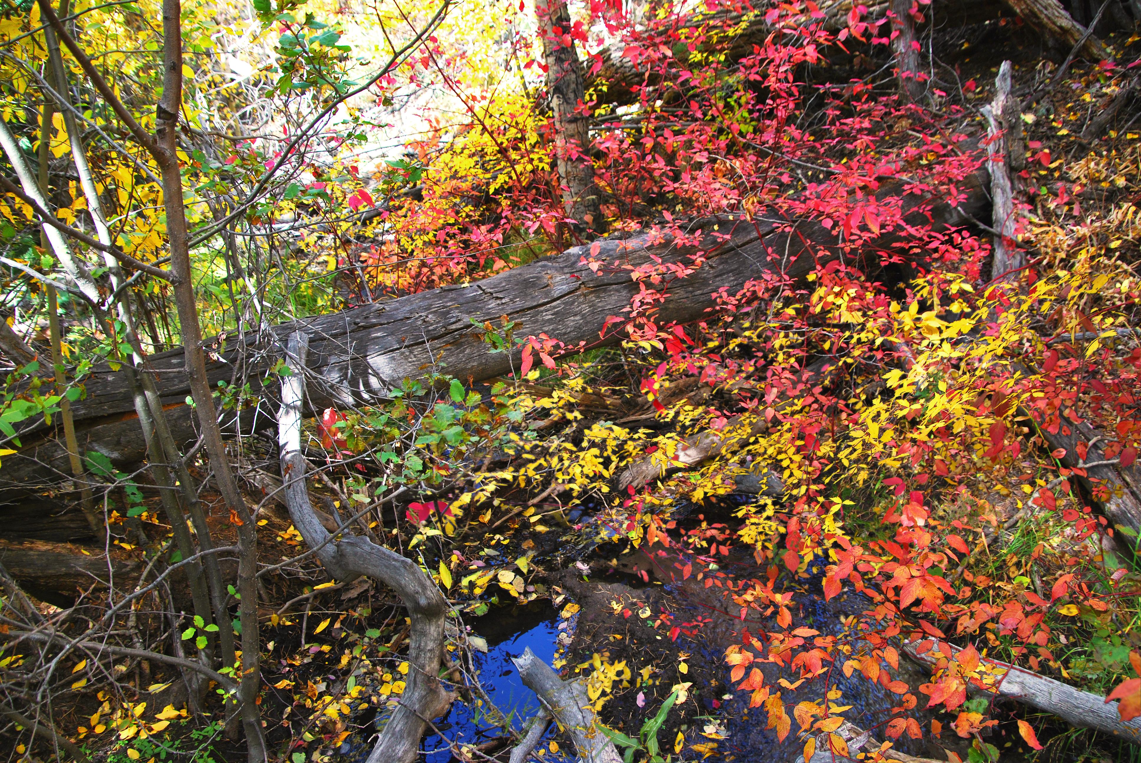
Archive photograph · 2009-10-01 · Medano Creek, Great Sand Dunes National Park, Colorado

Understand the story.
A welcome return to the sand
After October 22 rain, NPS reported water near the main dunes parking area on October 23. The dated update describes a change visitors can check. Older spring forecasts farther down the same page should not be mistaken for the latest conditions. [1]
Two places, different measurements
The park’s linked flow graph measures water five miles upstream. It is not the discharge or depth at the main visitor area. The report does not establish Sunday’s water level or promise the familiar spring surge-flow experience. [2]
Read the warning beside the opportunity
The primitive road’s separate update warns of swift, deep crossings and prohibits AWD and two-wheel-drive vehicles. An open-road label cannot establish a safe crossing. Check both current pages and park weather before choosing a route. [3]
How we know3 scoped claims · 2 source recordsView evidence
Each claim keeps its full assertion, date, source passage and limits. Source counts describe records, not independent corroboration.
1.Water near main parkingSupported
NPS’s October 23 current-conditions section reports water in Medano Creek near the main dunes parking area after the visitor centre recorded 1.5 inches of overnight rain.
- Scope
- Great Sand Dunes National Park and Preserve, Colorado: NPS conditions updated October 23 following October 22 rain. Recheck conditions before travel; seasonal spring text remains on the page.
- Evidence passage
- Medano Creek, Current Conditions updated October 23, 2026; dated image caption above the section.
- As of
- 2026-10-25
- Limit
- An older spring forecast remains below; it does not supersede the dated current section or establish Sunday flow.
Retrieved 2026-10-25T10:52:04.265Z · National Park Service
Great Sand Dunes National Park and Preserve, Colorado: NPS conditions updated October 23 following October 22 rain. Recheck conditions before travel; seasonal spring text remains on the page. This record is not independent corroboration of another account merely because it is official or recaptured.
2.Gauge and visitor area differSupported
NPS labels the flow graph as measured five miles upstream from the dunes parking area, not the flow to expect in the main visitor area.
- Scope
- Great Sand Dunes National Park and Preserve, Colorado: NPS conditions updated October 23 following October 22 rain. Recheck conditions before travel; seasonal spring text remains on the page.
- Evidence passage
- Medano Creek, Current Conditions, Check up-to-the-minute flow paragraph.
- As of
- 2026-10-25
- Limit
- No upstream discharge value is converted to visitor-area depth or a safety threshold.
Retrieved 2026-10-25T10:52:04.265Z · National Park Service
Great Sand Dunes National Park and Preserve, Colorado: NPS conditions updated October 23 following October 22 rain. Recheck conditions before travel; seasonal spring text remains on the page. This record is not independent corroboration of another account merely because it is official or recaptured.
3.Backcountry warning remainsSupported
NPS’s October 23 Medano Pass update calls the primitive road open but warns of swift water up to three feet deep at some crossings and recommends against crossings for most vehicles.
- Scope
- Great Sand Dunes National Park and Preserve, Colorado: NPS conditions updated October 23 following October 22 rain. Recheck conditions before travel; seasonal spring text remains on the page.
- Evidence passage
- Medano Pass Primitive Road, Current Road Conditions and CAUTION; vehicle restrictions.
- As of
- 2026-10-25
- Limit
- Open does not mean safe for all vehicles. AWD and 2WD are prohibited on the primitive road.
Retrieved 2026-10-25T10:52:04.223Z · National Park Service
Great Sand Dunes National Park and Preserve, Colorado: NPS conditions updated October 23 following October 22 rain. Recheck conditions before travel; seasonal spring text remains on the page. This record is not independent corroboration of another account merely because it is official or recaptured.
What remains open.
- October 25 flow and crossing depths are not verified.
- The current page’s sentence about an estimated flow is incomplete; no missing value is supplied.
A corrected original, a changed official roster or service condition, documented completion/outcome, or contrary evidence affecting these claims would reopen this account. Preserve this version and record a material revision.
THIS STORY IN TIME
Keep the dates with the story.
- Reported development
- Evidence as of
- First retained publication
- This version published
Publication times are Central. A development date and an evidence date can differ. Missing dates remain unrecorded.
What readers add.
Comments are reviewed before they appear. Max includes five comments and two custom story requests each day.
Loading reviewed comments…
Add a comment with Max →