← 2026-11-02 edition · Sourced reporting
Minnesota rain: two rounds, with a shifting forecast
As of 2026-11-02 · Publication details
MONDAY · heavier rain axis[2]
ND/SD/MN border toward the Arrowhead: 1.5–2.5 inches forecast.
MONDAY NIGHT · lull expected[4] [3]
Twin Cities office’s area: a lull before a second, uncertain rain band.
TUESDAY–WEDNESDAY · band may shift[3]
Favored Redwood Falls–Duluth band; placement and duration uncertain.
NWS Twin Cities/Chanhassen forecast issued November 2, 2026 at 2:04 a.m. CST. Minnesota and western Wisconsin forecast-area context; locally heavier axes have different geography. Rainfall amounts are forecasts for November 2–4, not measured totals or identical predictions for every address.
Read the records as a table
| Record | Meaning |
|---|---|
| MONDAY · heavier rain axis | ND/SD/MN border toward the Arrowhead: 1.5–2.5 inches forecast. [2] |
| MONDAY NIGHT · lull expected | Twin Cities office’s area: a lull before a second, uncertain rain band. [4] [3] |
| TUESDAY–WEDNESDAY · band may shift | Favored Redwood Falls–Duluth band; placement and duration uncertain. [3] |
NWS expects soaking rain through Wednesday. The heavier band for Tuesday and Wednesday could move as the second low develops. Use a current local forecast for plans: regional forecast amounts are not measured rainfall at your address. [1] [3]
Still open: Later rain-band placement and duration remain uncertain; no address-specific total, flooding guarantee, drought recovery measurement or completed storm is established. All open questions ↓
Open the originating NWS discussion, check the issue date and time, and use its Local forecast navigation for current place-specific conditions. This regional discussion does not establish a safe travel route. →Read the full story
The reporting question: Where is rain expected—and which parts of the forecast could move?
Monday’s heavier band is farther north
The November 2 discussion puts Monday’s heaviest forecast rain from the Dakota-border region northeast toward the Arrowhead. Its 1.5–2.5-inch range describes that axis, not every town or a Twin Cities point forecast. [2]
A lull does not end the system
NWS expects a late-Monday dry slot and a Monday-night lull before the second phase. For Tuesday and Wednesday, it favors a heavier band roughly from Redwood Falls toward Duluth, while warning that its position and duration could change. Do not add separate regional ranges into a promised total for your home. [3] [4]
Check the issue time before making plans
The forecast was issued at 2:04 a.m. CST on November 2. Its advisory section listed none for Minnesota or Wisconsin at that time; that is not a promise about later warnings or other forecast offices. Reopen the official discussion and use its Local forecast route for your place. No rain total, flooded road or drought recovery is established by this forecast. [1] [5]
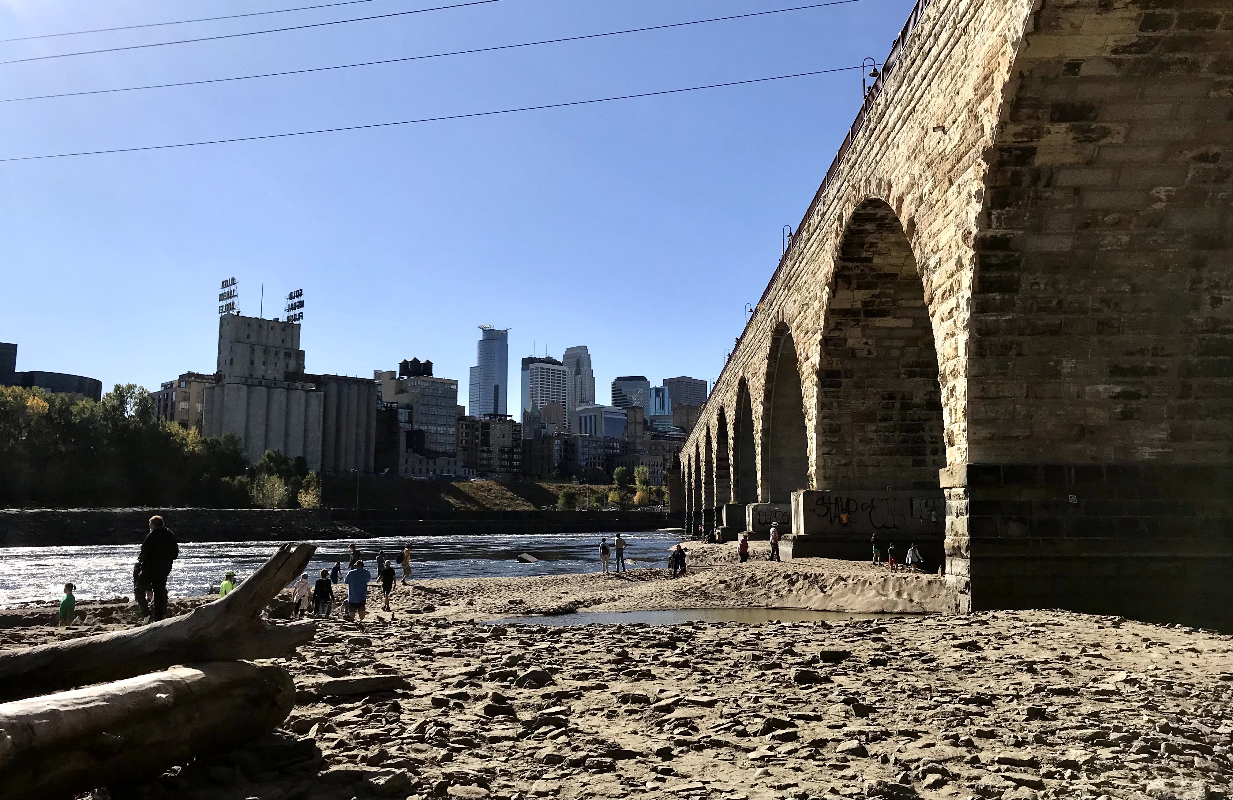
Archive photograph · 2020-10-07 · Stone Arch Bridge, Minneapolis, Minnesota

- 1 source record
- National Weather Service Twin Cities/Chanhassen
How we know5 scoped claims · 1 source recordView evidence
Each claim keeps its full assertion, date, source passage and limits. Source counts describe records, not independent corroboration.
1.overallAttributed
NWS forecasts widespread soaking rain Monday through Wednesday, generally 0.75–2 inches and approaching 3 inches across central Minnesota.
- Scope
- NWS Twin Cities/Chanhassen forecast issued November 2, 2026 at 2:04 a.m. CST. Minnesota and western Wisconsin forecast-area context; locally heavier axes have different geography. Rainfall amounts are forecasts for November 2–4, not measured totals or identical predictions for every address.
- Evidence passage
- KEY MESSAGES, first bullet.
- As of
- 2026-11-02
- Limit
- Forecast range, not an observed total or guarantee at each address. Central Minnesota qualifier cannot be transferred to the whole forecast area.
Retrieved 2026-11-02T10:11:33.793Z · National Weather Service Twin Cities/Chanhassen
The current-version URL is mutable; exact captured issue time and bytes bind this report. Higher totals are conditional and geographic. No model probabilities or precise street-level estimates supplied.
2.mondayAttributed
For Monday, NWS places the heaviest forecast rain, 1.5–2.5 inches, from the North Dakota/South Dakota/Minnesota border northeast toward the Arrowhead.
- Scope
- NWS Twin Cities/Chanhassen forecast issued November 2, 2026 at 2:04 a.m. CST. Minnesota and western Wisconsin forecast-area context; locally heavier axes have different geography. Rainfall amounts are forecasts for November 2–4, not measured totals or identical predictions for every address.
- Evidence passage
- DISCUSSION, first paragraph, surface low track and model consensus.
- As of
- 2026-11-02
- Limit
- A regional heavy-rain axis, not a Twin Cities point forecast. No causal damage or road condition inferred.
Retrieved 2026-11-02T10:11:33.793Z · National Weather Service Twin Cities/Chanhassen
The current-version URL is mutable; exact captured issue time and bytes bind this report. Higher totals are conditional and geographic. No model probabilities or precise street-level estimates supplied.
3.laterAttributed
Tuesday and Wednesday’s heavier-rain axis could shift: NWS favors roughly Redwood Falls to Duluth but reports disagreement about the second low’s location and exit time.
- Scope
- NWS Twin Cities/Chanhassen forecast issued November 2, 2026 at 2:04 a.m. CST. Minnesota and western Wisconsin forecast-area context; locally heavier axes have different geography. Rainfall amounts are forecasts for November 2–4, not measured totals or identical predictions for every address.
- Evidence passage
- DISCUSSION, Phase 2 paragraph, model spread and favored axis.
- As of
- 2026-11-02
- Limit
- Location and duration uncertainty remain material; do not add this region’s range to Monday values for every reader.
Retrieved 2026-11-02T10:11:33.793Z · National Weather Service Twin Cities/Chanhassen
The current-version URL is mutable; exact captured issue time and bytes bind this report. Higher totals are conditional and geographic. No model probabilities or precise street-level estimates supplied.
4.lullAttributed
NWS expects a late-Monday dry slot and a lull in precipitation Monday night in its forecast area before the second phase.
- Scope
- NWS Twin Cities/Chanhassen forecast issued November 2, 2026 at 2:04 a.m. CST. Minnesota and western Wisconsin forecast-area context; locally heavier axes have different geography. Rainfall amounts are forecasts for November 2–4, not measured totals or identical predictions for every address.
- Evidence passage
- DISCUSSION, end of first paragraph, MPX area dry slot and lull.
- As of
- 2026-11-02
- Limit
- Expected interruption, not a promise of a dry commute or cessation everywhere.
Retrieved 2026-11-02T10:11:33.793Z · National Weather Service Twin Cities/Chanhassen
The current-version URL is mutable; exact captured issue time and bytes bind this report. Higher totals are conditional and geographic. No model probabilities or precise street-level estimates supplied.
5.issueAttributed
At issue time, the MPX discussion lists no Minnesota or Wisconsin watches, warnings or advisories.
- Scope
- NWS Twin Cities/Chanhassen forecast issued November 2, 2026 at 2:04 a.m. CST. Minnesota and western Wisconsin forecast-area context; locally heavier axes have different geography. Rainfall amounts are forecasts for November 2–4, not measured totals or identical predictions for every address.
- Evidence passage
- MPX WATCHES/WARNINGS/ADVISORIES: MN None; WI None.
- As of
- 2026-11-02
- Limit
- Only this product at 2:04 a.m. CST, not proof that no office has warnings or none can be issued later.
Retrieved 2026-11-02T10:11:33.793Z · National Weather Service Twin Cities/Chanhassen
The current-version URL is mutable; exact captured issue time and bytes bind this report. Higher totals are conditional and geographic. No model probabilities or precise street-level estimates supplied.
What remains open.
- Later rain-band placement and duration remain uncertain; no address-specific total, flooding guarantee, drought recovery measurement or completed storm is established.
- No live personal route or local warning task tested. The linked originating discussion can change; reader should check its issue time and current official local forecast.
- Separate exact-source review, publisher browser/help/photo and rendered/mobile checks pending.
A newer NWS forecast, warning or actual rainfall observation changes the relevant account.
THIS STORY IN TIME
Keep the dates with the story.
- Reported development
- Evidence as of
- First retained publication
- This version published
Publication times are Central. A development date and an evidence date can differ. Missing dates remain unrecorded.
What readers add.
Comments are reviewed before they appear. Max includes five comments and two custom story requests each day.
Loading reviewed comments…
Add a comment with Max →