← 2026-10-26 edition · Sourced reporting
Published Oct 26, 2026, 10:02 AM Central · This version Oct 26, 2026, 10:02 AM Central · As of 2026-10-26
NASA’s new fall-colour account shows why a red pixel needs ground context
NASA’s October 26 account explains earlier PACE observations of shifting leaf colour and asks for ground photographs to interpret them. Red pixels can also reflect crops or plant stress; check the map dates before planning a foliage trip. [1] [2] [3]
Read NASA’s dated map guide and its ground-observation instructions →NASA Earth Observatory’s October 26, 2026 analysis and scientist explanations. PACE maps compare September 29–October 4 with October 5–11, 2026. Leaf redness is a satellite pigment signal, not a live foliage forecast, verified local trail condition or health diagnosis of a tree.
- 1 source record
- NASA Earth Observatory
Still open: No current local peak-colour or trail/weather condition is established. All open questions ↓
Reporting question · As of 2026-10-26
The question: What can NASA’s latest leaf-colour maps tell a leaf peeper?
NASA Earth Observatory’s October 26, 2026 analysis and scientist explanations. PACE maps compare September 29–October 4 with October 5–11, 2026. Leaf redness is a satellite pigment signal, not a live foliage forecast, verified local trail condition or health diagnosis of a tree.
NASA Earth Observatory’s October 26, 2026 analysis and scientist explanations. PACE maps compare September 29–October 4 with October 5–11, 2026. Leaf redness is a satellite pigment signal, not a live foliage forecast, verified local trail condition or health diagnosis of a tree.
Read the process as a table
| Component | Meaning | Evidence |
|---|---|---|
| Observation dates | September 29–October 4 versus October 5–11. | [1] |
| Interpretation | Crops, stress and clouds complicate a red pixel. | [2] |
| Ground check | NASA links ways to compare vegetation photos with satellite signals. | [3] |
Archive photograph · 2009-10-09 · New Hampshire, United States
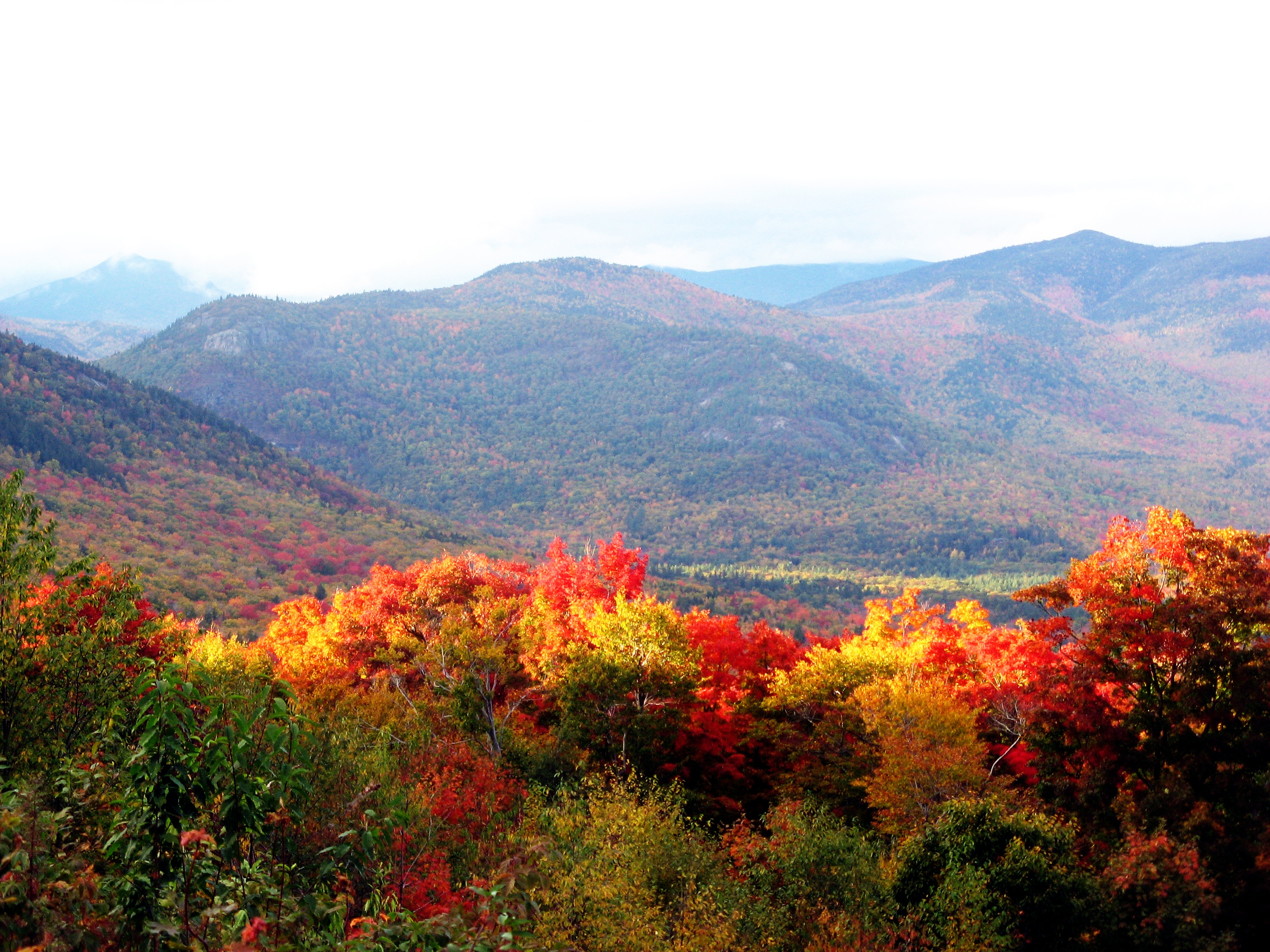

Understand the story.
New explanation, earlier observations
The new account compares late-September/early-October observations with October 5–11. It shows how vegetation colour moved across regions. Those dates belong beside the maps: this is not a live view of a favourite trail. [1]
The same colour can have different causes
NASA explains that harvested crops, drought and insects can affect pigment signals too. Clouds can hide observations. Colour alone cannot establish that autumn has peaked locally or identify the cause of a stressed plant. [2]
Look from the ground as well
NASA’s account links the GLOBE phenology campaign, which asks for ground photographs of trees and other vegetation. Use its dated maps and observing instructions to compare what a satellite sees with what is actually nearby. Participation remains optional. [3]
How we know3 scoped claims · 1 source recordView evidence
Each claim keeps its full assertion, date, source passage and limits. Source counts describe records, not independent corroboration.
1.Two older observation windowsAttributed
NASA’s new account compares PACE vegetation-redness maps for September 29–October 4 and October 5–11, showing colour change shifting southward in parts of the Northern Hemisphere.
- Scope
- NASA Earth Observatory’s October 26, 2026 analysis and scientist explanations. PACE maps compare September 29–October 4 with October 5–11, 2026. Leaf redness is a satellite pigment signal, not a live foliage forecast, verified local trail condition or health diagnosis of a tree.
- Evidence passage
- Image Details and paragraphs below the first PACE map pair.
- As of
- 2026-10-26
- Limit
- Maps show earlier observations; no October 26 peak or local viewing guarantee.
Retrieved 2026-10-26T14:04:10.101Z · NASA Earth Observatory
NASA Earth Observatory’s October 26, 2026 analysis and scientist explanations. PACE maps compare September 29–October 4 with October 5–11, 2026. Leaf redness is a satellite pigment signal, not a live foliage forecast, verified local trail condition or health diagnosis of a tree. Byte capture verifies the retained record, not its truth or completeness.
2.Red does not always mean autumnAttributed
NASA explains that agricultural ageing/harvest, drought or insect stress can affect pigment signals, and clouds can leave apparent gaps.
- Scope
- NASA Earth Observatory’s October 26, 2026 analysis and scientist explanations. PACE maps compare September 29–October 4 with October 5–11, 2026. Leaf redness is a satellite pigment signal, not a live foliage forecast, verified local trail condition or health diagnosis of a tree.
- Evidence passage
- Paragraph beginning The satellite detected and scientist Skye Caplan’s pigment-stress explanation.
- As of
- 2026-10-26
- Limit
- A coloured pixel cannot identify one cause or prove a specific tree is diseased.
Retrieved 2026-10-26T14:04:10.101Z · NASA Earth Observatory
NASA Earth Observatory’s October 26, 2026 analysis and scientist explanations. PACE maps compare September 29–October 4 with October 5–11, 2026. Leaf redness is a satellite pigment signal, not a live foliage forecast, verified local trail condition or health diagnosis of a tree. Byte capture verifies the retained record, not its truth or completeness.
3.Ground observations help interpretationAttributed
NASA describes a PACE/GLOBE campaign seeking photographs of vegetation to help compare satellite signals with conditions on the ground.
- Scope
- NASA Earth Observatory’s October 26, 2026 analysis and scientist explanations. PACE maps compare September 29–October 4 with October 5–11, 2026. Leaf redness is a satellite pigment signal, not a live foliage forecast, verified local trail condition or health diagnosis of a tree.
- Evidence passage
- Observing Leaves in a Canopy Near You, first and following paragraphs.
- As of
- 2026-10-26
- Limit
- Citizen observations support interpretation; no account creation or submission was performed by NTDS.
Retrieved 2026-10-26T14:04:10.101Z · NASA Earth Observatory
NASA Earth Observatory’s October 26, 2026 analysis and scientist explanations. PACE maps compare September 29–October 4 with October 5–11, 2026. Leaf redness is a satellite pigment signal, not a live foliage forecast, verified local trail condition or health diagnosis of a tree. Byte capture verifies the retained record, not its truth or completeness.
What remains open.
- No current local peak-colour or trail/weather condition is established.
- The campaign and earlier weekly maps predate this new NASA account.
- No ground-photo submission, measured model improvement or user learning is claimed.
A corrected original, material new record, amendment, changed service availability or contrary evidence affecting these claims would reopen the account. Preserve this version and date any material revision.
THIS STORY IN TIME
Keep the dates with the story.
- Reported development
- Evidence as of
- First retained publication
- This version published
Publication times are Central. A development date and an evidence date can differ. Missing dates remain unrecorded.