← 2026-10-14 edition · Sourced reporting
Published Oct 14, 2026, 7:59 AM Central · This version Oct 14, 2026, 7:59 AM Central · As of 2026-10-14
Simon’s eye stayed offshore. Its reach did not.
NASA’s new satellite report shows Hurricane Simon’s core brushing Mexico’s Pacific coast on October 11, even with its eye offshore. The agency cites coastal flooding reports; the images and October 13 forecast discussion are dated snapshots. [1] [2]
Open NASA’s dated satellite report and its linked hurricane advisory archive. Use current advisories and local authorities for decisions today. →NASA’s October 14 report on October 11 satellite observations and its October 13 forecast discussion. This is a dated reported snapshot, not current emergency guidance, a live track or independently verified damage totals.
- 1 source record
- NASA Earth Observatory / Lindsey Doermann
Still open: NASA’s October 14 report on October 11 satellite observations and its October 13 forecast discussion. This is a dated reported snapshot, not current emergency guidance, a live track or independently verified damage totals. All open questions ↓
Reporting question · As of 2026-10-14
The question: How can an offshore hurricane still reach people on Mexico’s coast?
NASA’s October 14 report on October 11 satellite observations and its October 13 forecast discussion. This is a dated reported snapshot, not current emergency guidance, a live track or independently verified damage totals.
NASA’s October 14 report on October 11 satellite observations and its October 13 forecast discussion. This is a dated reported snapshot, not current emergency guidance, a live track or independently verified damage totals.
Read the process as a table
| Component | Meaning | Evidence |
|---|---|---|
| 50 km offshore | The eye at the October 11 afternoon satellite observation. | [1] |
| Core at the coast | NASA describes the inner core brushing Mexico’s coastline. | [1] |
| October 13 outlook | The forecast discussion is dated and carried low confidence. | [4] |
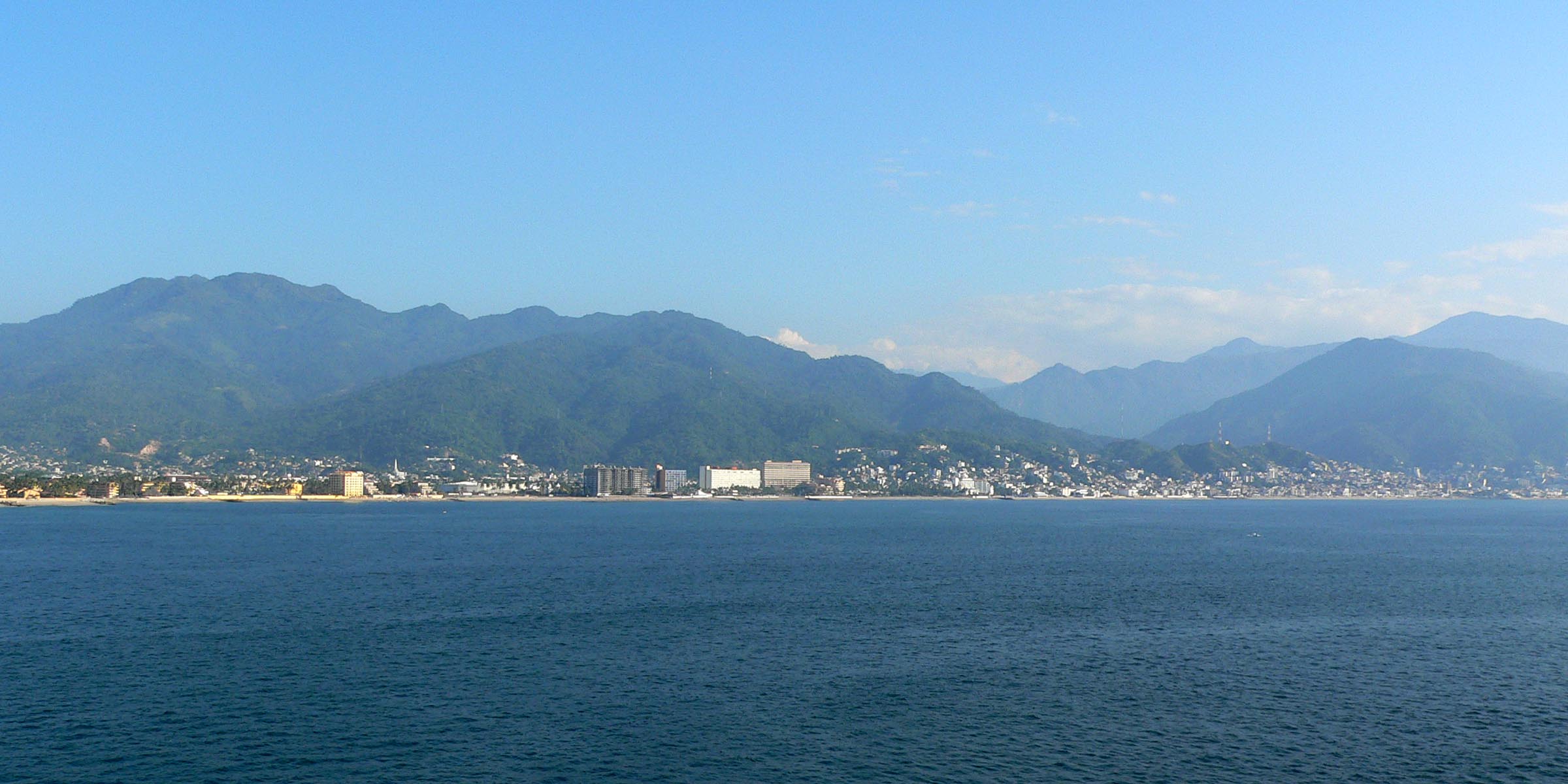
Archive photograph · 2005-11 · Puerto Vallarta, Jalisco, Mexico

Understand the story.
The center was not the whole storm
An eye offshore can look reassuring on a map. In NASA’s October 11 snapshot, Simon’s inner core was already brushing the coast. The location of the center alone did not describe the reach of the storm. [1]
The coastline felt the reach
NASA’s account cites flooding reports from Manzanillo and discusses rain and mudslide risk. Those are attributed reports; we have not independently counted damaged homes, evacuations or casualties. [3]
Read the dates before the track
The reported wind readings belong to October 11. NASA’s forecast discussion belongs to October 13. For a decision today, follow the advisory archive linked in the original report and local authorities; this article cannot establish the storm’s current position. [2] [4]
How we know4 scoped claims · 1 source recordView evidence
Each claim keeps its full assertion, date, source passage and limits. Source counts describe records, not independent corroboration.
1.An offshore eye, a coastal coreSupported
NASA’s October 14 report places Simon’s eye about 50 kilometers offshore between Manzanillo and Puerto Vallarta at the October 11 afternoon satellite observation, with the inner core brushing the coast.
- Scope
- NASA’s October 14 report on October 11 satellite observations and its October 13 forecast discussion. This is a dated reported snapshot, not current emergency guidance, a live track or independently verified damage totals.
- Evidence passage
- Opening paragraphs, October 11 Suomi NPP observation.
- As of
- 2026-10-14
- Limit
- This is the location at one observation time, not a current track.
Retrieved 2026-10-14T12:20:36.551Z · NASA Earth Observatory / Lindsey Doermann
NASA’s October 14 report on October 11 satellite observations and its October 13 forecast discussion. This is a dated reported snapshot, not current emergency guidance, a live track or independently verified damage totals.
2.Two dated wind readingsSupported
NASA reports peak sustained winds of 250 km/h on October 11 and about 210 km/h at the approximately 20:30 UTC satellite observation that day.
- Scope
- NASA’s October 14 report on October 11 satellite observations and its October 13 forecast discussion. This is a dated reported snapshot, not current emergency guidance, a live track or independently verified damage totals.
- Evidence passage
- Opening paragraphs and Suomi NPP observation paragraph.
- As of
- 2026-10-14
- Limit
- Different times, not two interchangeable estimates or a current intensity.
Retrieved 2026-10-14T12:20:36.551Z · NASA Earth Observatory / Lindsey Doermann
NASA’s October 14 report on October 11 satellite observations and its October 13 forecast discussion. This is a dated reported snapshot, not current emergency guidance, a live track or independently verified damage totals.
3.Impacts beyond the eyeSupported
NASA cites news reports of heavy rain and flooding, including Manzanillo, and discusses mudslide risk.
- Scope
- NASA’s October 14 report on October 11 satellite observations and its October 13 forecast discussion. This is a dated reported snapshot, not current emergency guidance, a live track or independently verified damage totals.
- Evidence passage
- Paragraph beginning By that time, following the satellite observation.
- As of
- 2026-10-14
- Limit
- Secondary reporting within NASA’s account; no original damage or casualty count was independently verified here.
Retrieved 2026-10-14T12:20:36.551Z · NASA Earth Observatory / Lindsey Doermann
NASA’s October 14 report on October 11 satellite observations and its October 13 forecast discussion. This is a dated reported snapshot, not current emergency guidance, a live track or independently verified damage totals.
4.Forecast limits remain visibleSupported
NASA’s report describes low confidence in the storm’s path and intensity on the morning of October 13 and discusses possible movement toward the Gulf of California.
- Scope
- NASA’s October 14 report on October 11 satellite observations and its October 13 forecast discussion. This is a dated reported snapshot, not current emergency guidance, a live track or independently verified damage totals.
- Evidence passage
- Final forecast paragraph beginning On the morning of October 13.
- As of
- 2026-10-14
- Limit
- An earlier forecast discussion, not a current forecast or proof of landfall.
Retrieved 2026-10-14T12:20:36.551Z · NASA Earth Observatory / Lindsey Doermann
NASA’s October 14 report on October 11 satellite observations and its October 13 forecast discussion. This is a dated reported snapshot, not current emergency guidance, a live track or independently verified damage totals.
What remains open.
- NASA’s October 14 report on October 11 satellite observations and its October 13 forecast discussion. This is a dated reported snapshot, not current emergency guidance, a live track or independently verified damage totals.
A new official record, correction or material change would trigger a new captured revision and reconciliation of the affected claims.
THIS STORY IN TIME
Keep the dates with the story.
- Reported development
- Evidence as of
- First retained publication
- This version published
Publication times are Central. A development date and an evidence date can differ. Missing dates remain unrecorded.